Category: Travel to USA & Canada
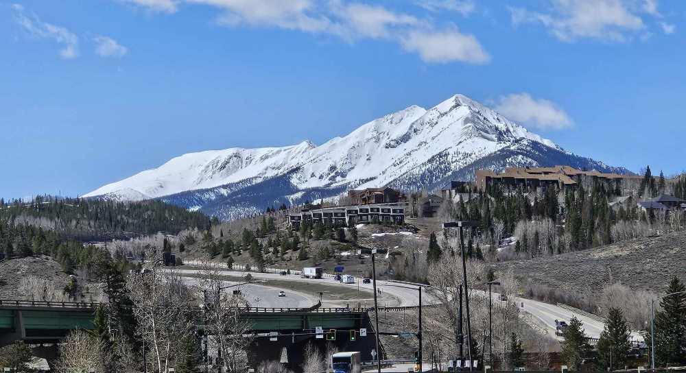
Had a good 5.5 hours of riding lined up today (plus extra for stops) so it was a case of getting on the bikes and getting it done with stretch, fuel and food stops only, but to say the scenery was amazing would be an understatement. We were glad we had multiple layers of clothing on because we travelled through lots of snow (not on the road) but all around us and it gradually reduced until it was in the distance only. All kinds of wonderful which is impossible to convey, it felt like we were riding from one great Cathedral to another and witnessing the majesty and wonder of a master artist. Now 2 nights at Moab to allow for some exploring. I was glad my highway pegs were fitted; I was able to rest my hip so more comfortable.
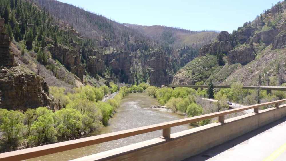
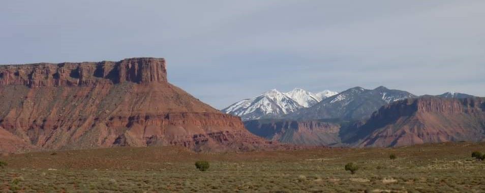
Moab is a surprise for us. We visited 9 years ago, and commercialization and adventure tourism has taken over. ATV’s and pushbikes are everywhere with multiple camping spots and canoeing along the river and national brand name accommodations in town. I think I liked it better more unspoiled, but all that is still dwarfed by the surrounding countryside. A bonus for us this trip was taking the Scenic Byway from I 70 (how we traveled last time) onto Route 128 which initially was a shocker of a road but then turned to all kinds of meandering on a perfect surface along the Colorado River and through massive pillars of rock resembling great fortresses, embattlements, spires and whole cities. Truly breathtaking!
Some interesting facts: Elevation above sea level.
Moab USA – 1,227m
Mount Kosciusko Australia – 2,228m
Traralgon Australia (hometown) – 60m
Highest point on our way today – 3,410m (Eisenhower- Johnson Tunnel 2.736km, the longest tunnel in North America about 96.561km from Denver and traverses the Continental Divide)
I’ll let the pictures tell the story, which they really don’t because they lack the depth and perspective but for all of us on the trip, they will be memory starters.
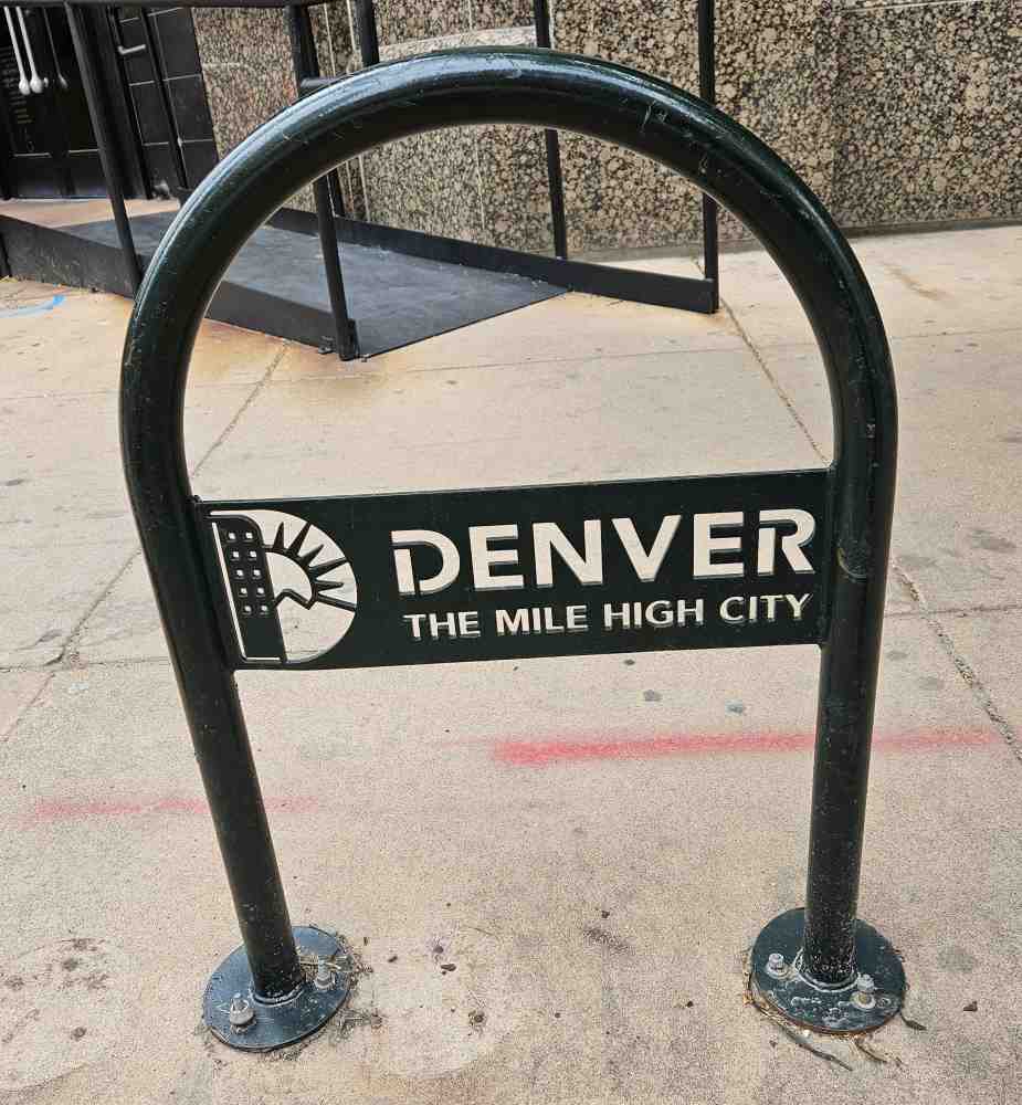
Yep, I wasn’t making that Mile High City quote up!
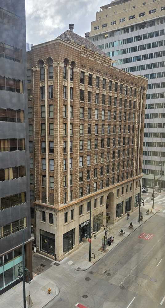
A quirky building from my hotel room and this was the street the fire truck pulled up in 3 times over the 2 days for false alarm fire calls. Very unsettling!
A view from our first fuel sop for the day.
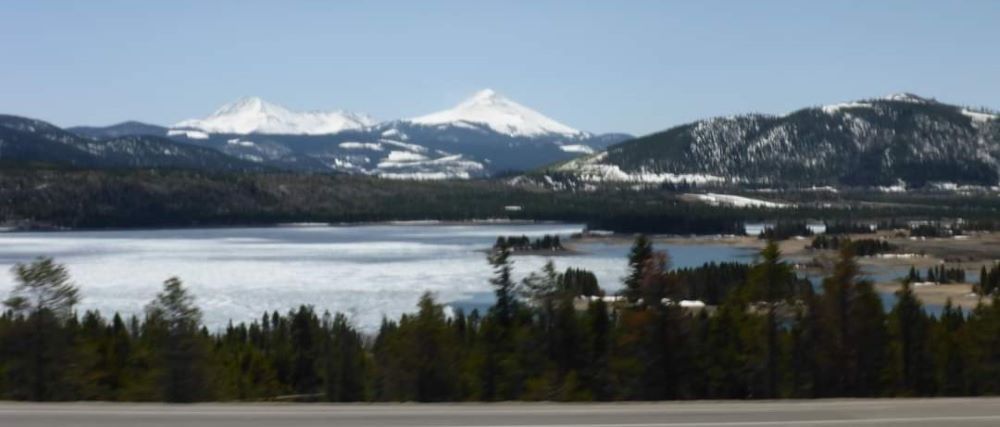
A partially frozen lake on our way.
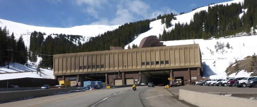
The Eisenhower Johnson Tunnel entrance.
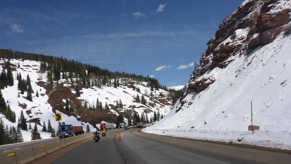
In transit. Reduced to one lane and surrounding trees were dusted with snow so possibly protruding into the lane and icy earlier but all good when we passed
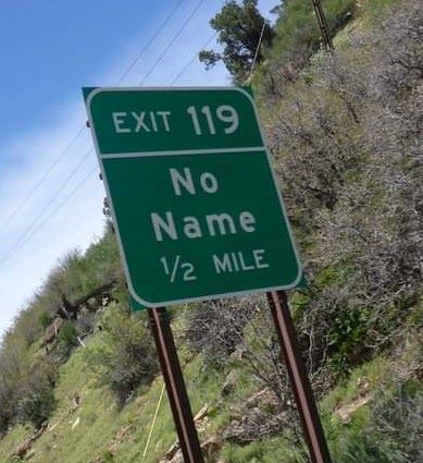
The place with no name really exists!
Awesome infrastructure. Would have loved to see a train on the tracks.
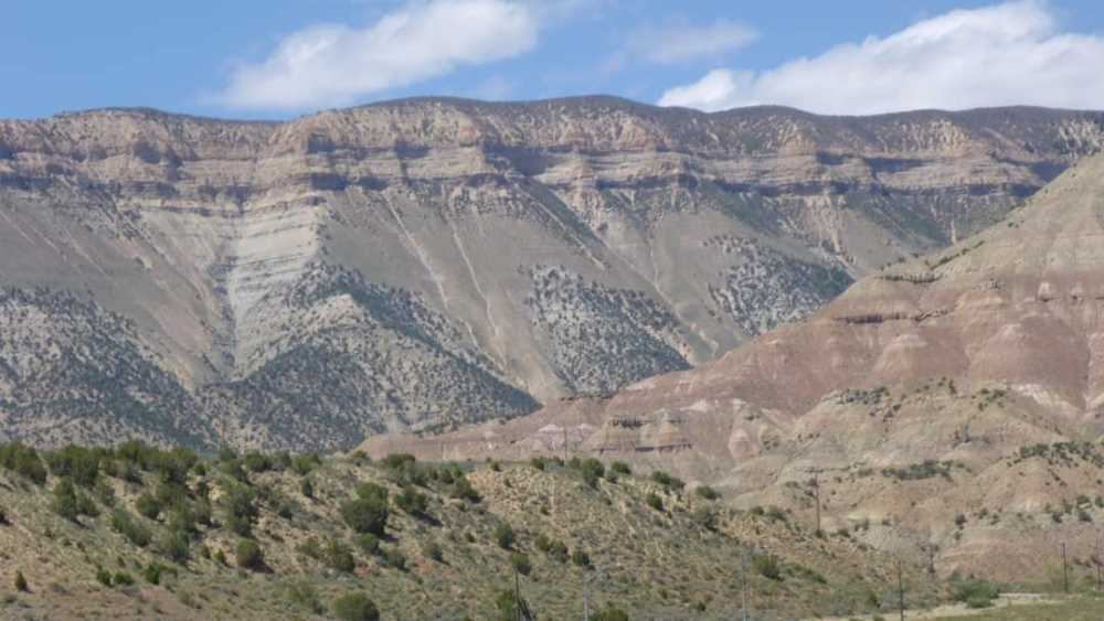
Changing landscapes as we headed for Moab.
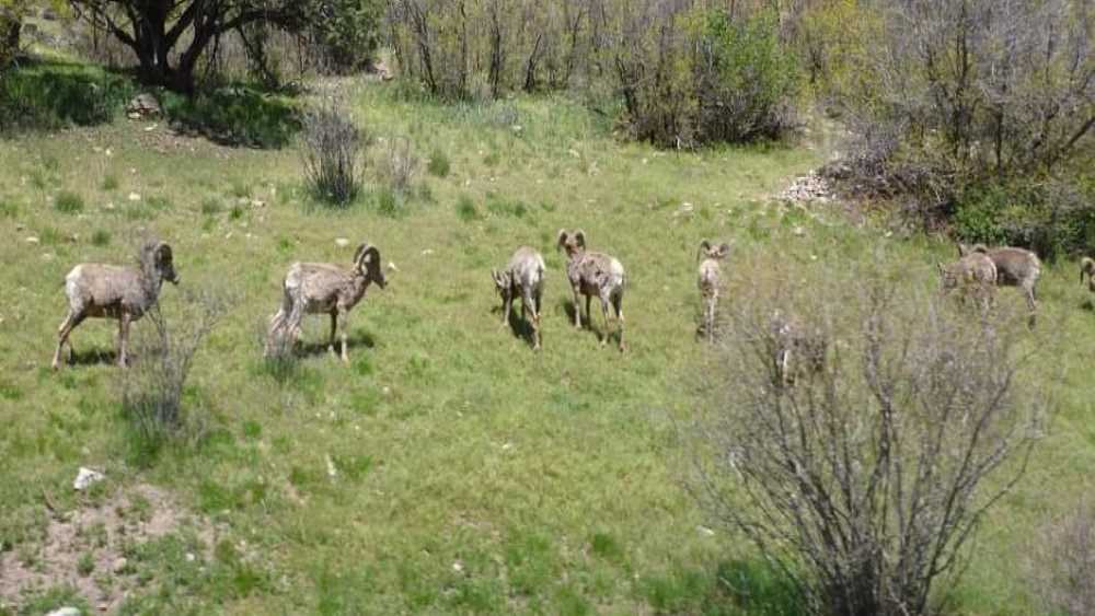
Bighorn sheep, a random find!
The snow persists even amongst the awesome red of our approach to Moab.
Last 2 night’s Accommodation.
Holiday Inn Express Denver Downtown.
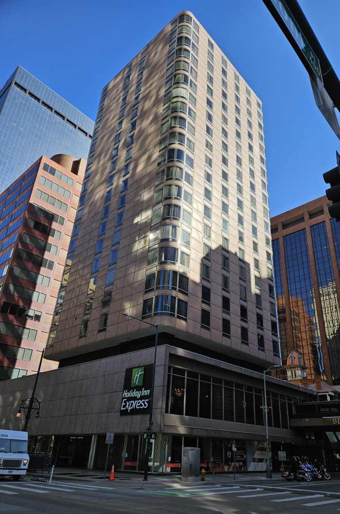
A nice spot to stay, comfortable bed, breakfast included and secure parking not far away. We have had a variation of bathroom sizes, but this one wins the miniscule space award and the room though functional is also small, but good spots to eat nearby and not far from lots of stuff. No laundry. So, swings and roundabouts.